
Build the Duck Hole Right the First Time: Designing Levees with a 3D Viewer
Flood your timber on screen before you move dirt. How drone LiDAR and our 3D viewer let duck hunters design levees, set pool elevations, and see huntable acreage at every stage.
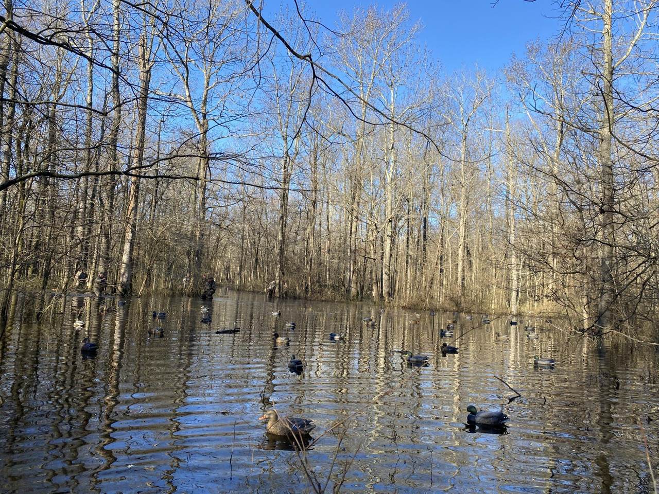
Every duck hunter who's built an impoundment knows the sick feeling: the levee's done, the pumps run, and the water doesn't go where you thought. The back corner you wanted knee-deep is dry, the timber you wanted 18 inches over is a swimming pool, and moving dirt twice costs more than doing it right once.
The problem is that levees get designed off guesswork — an eyeball, a hand level, maybe an old topo map with 10-foot contours. Water doesn't care about any of that. It follows inches.
What a LiDAR flight changes
One drone flight over your property fires hundreds of thousands of laser pulses through gaps in the canopy and maps the actual ground underneath — the bare earth, in inches, even under standing timber that a camera can never see through. That surface is the truth your water will obey.
Then you flood it — on your phone
We load that terrain into our 3D Viewer, and this is the part duck hunters get addicted to: a slider that raises and lowers the water. Pull it up six inches and watch which acres flood. Pull it to your target pool and see exactly how many huntable acres you get, where the sloughs connect, and which corner stays dry. Drop a probe anywhere and read the depth at that exact spot.
Before a yard of dirt moves, you know: where the levee needs to run, how tall the crown has to be, how many yards of cut and fill it takes, and what the pool actually looks like at hunting depth. Your dirt contractor gets numbers instead of flagging tape. When the levee's built, we can fly it again and verify the as-built matches the plan.
It works on the hole you already have
If your existing impoundment never holds right, the viewer shows you why — the low spot in the levee, the high ridge splitting your pool — usually in the first five minutes.
Want to fly the water up and down yourself? There's a sample project on our Flooded Timber page — takes an email to open, and it's the best two minutes you'll spend planning your spot. Or read how the levee work happens on our levee mapping page.
Call or text (205) 394-6256. We fly the Southeast and travel.