24 ft
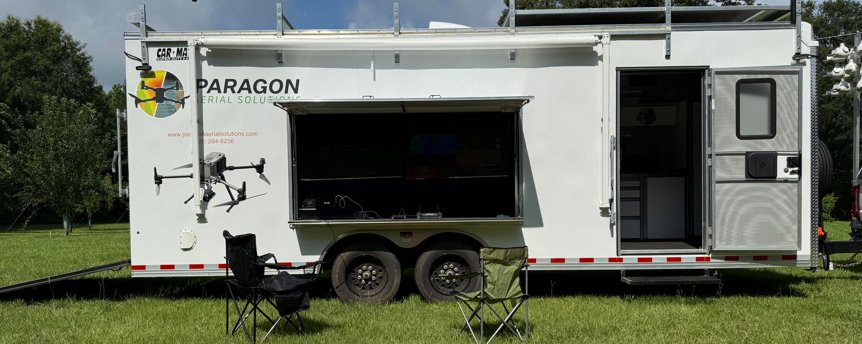
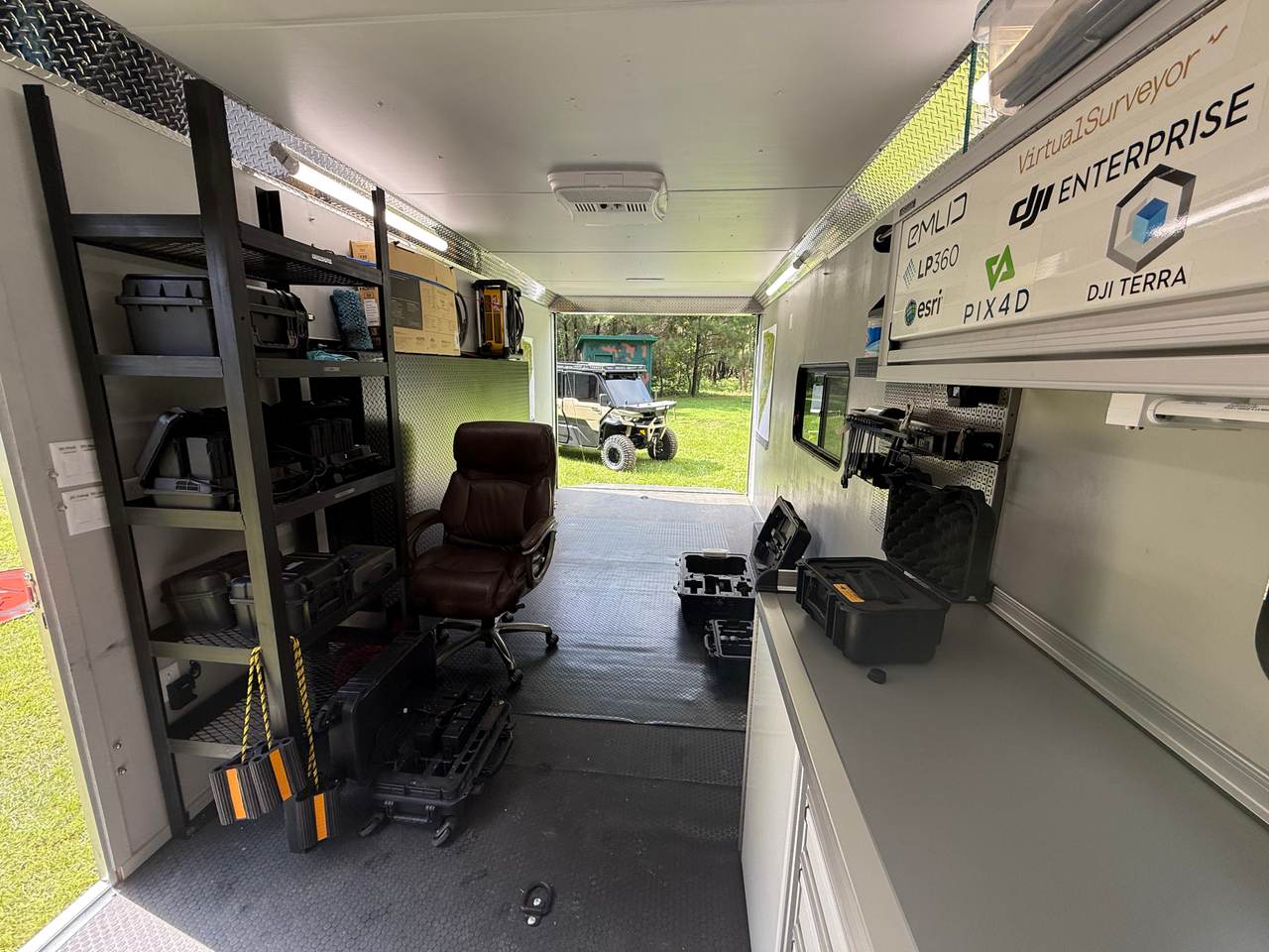
Enclosed trailer
Rolls onto the property with everything the job needs already loaded.
50"
Exterior monitors
Multiple screens mounted down the side, wired straight to the drone controllers.
Live
Real-time viewing
Your crew watches the thermal feeds as the deer are found and pinned, or the LiDAR mission is flown.
4x4
Can-Am Defender
Rides inside. Gets us and the gear anywhere on the property the truck cannot go.
The Fleet
We are not hobbyists.
This gear is expensive because it is the best available, and we replace it the moment something better ships. No job is too big, too small, or too complicated.
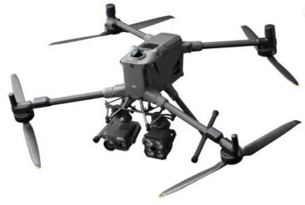
Ultimate precision and endurance
DJI M400Our flagship, carrying the P1 mapping camera, L3 LiDAR and the H30T thermal payload.
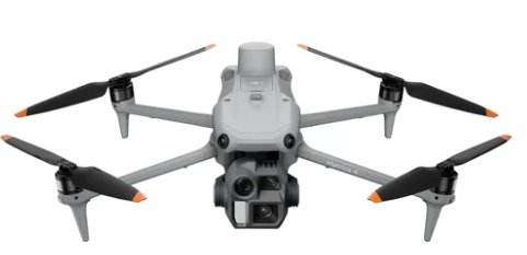
High-accuracy mapping
DJI M3E and M4EFast, accurate photogrammetry for sites that do not need the big airframe.
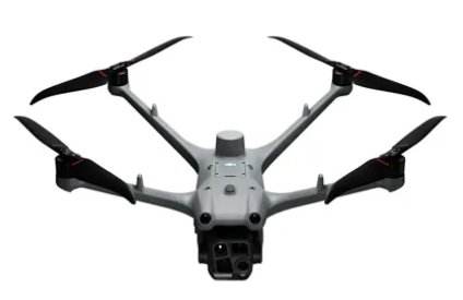
Thermal and wildlife
DJI M30T-M4T-M4TDThe thermal workhorses. These are what put up to 8 aircraft over a deer survey at once.
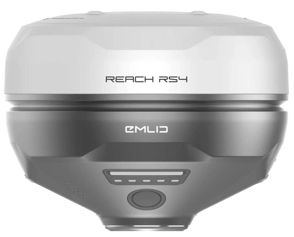
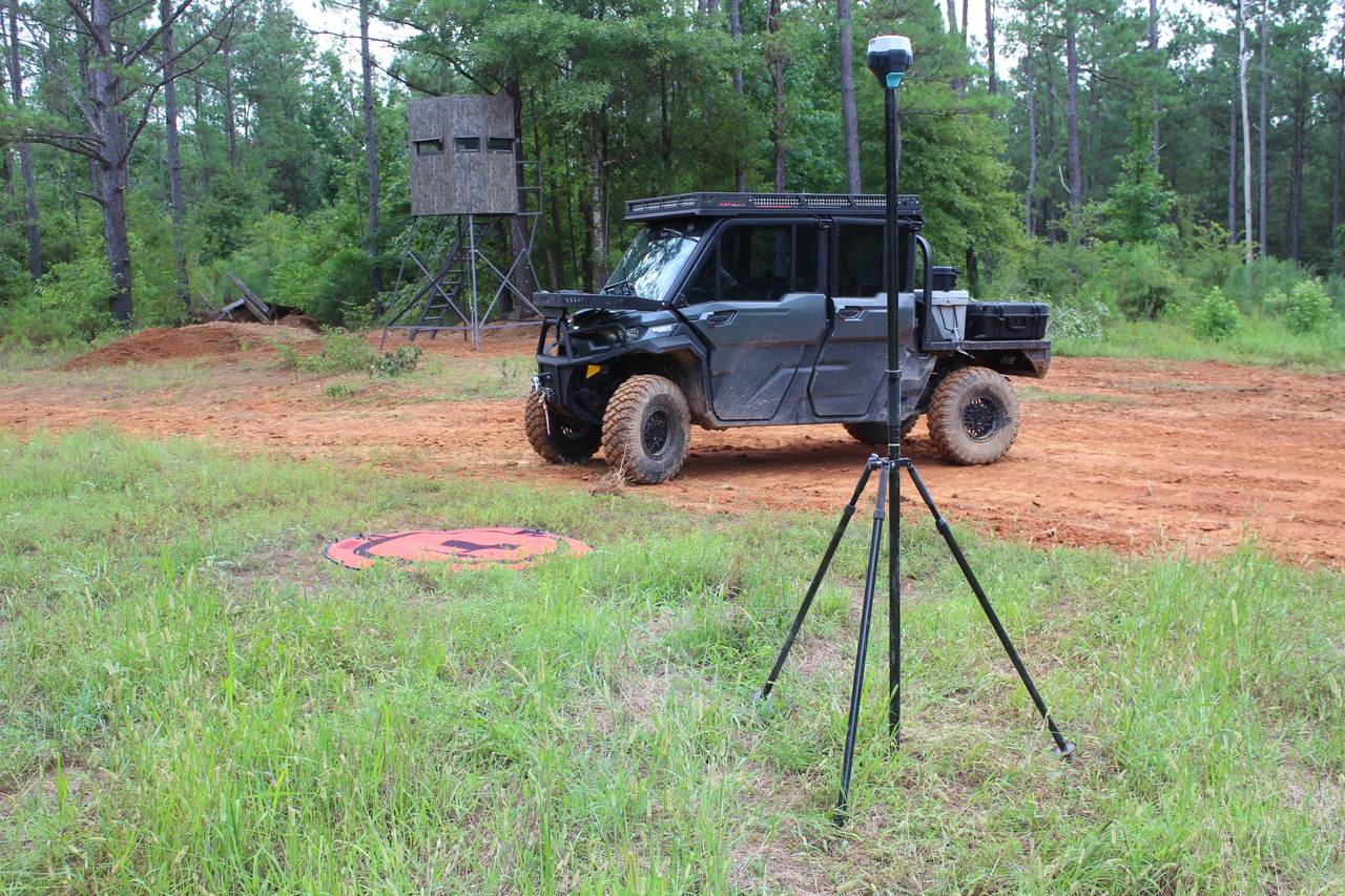
Centimeter-level positioning
EmlidOn site for every mapping mission, including where there is no cell service to correct from.
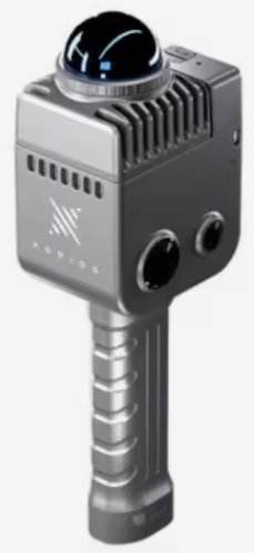
3D Gaussian splatting
Lixel K1Photographic 3D capture of interiors and exteriors — walkthroughs that hold up on a big screen.
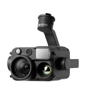
Sensors
H30TThermal, LiDAR and 45MP full-frame mapping — swapped to match the job, not the other way round.
Software and processing
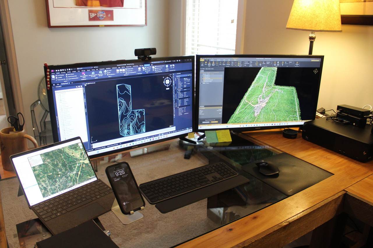
Photogrammetry, LiDAR processing, point-cloud classification and the flood-modeling tool we wrote ourselves — all of it runs on our machines, in our shop. Your data never leaves our hands, and when a job needs something the off-the-shelf software will not do, we build it.
Additional software used
LiDAR360LP360DJI TerraDJI ModifyGlobal MapperAutoCAD Civil 3DArcGIS ProPix4DmaticVirtual Surveyor