
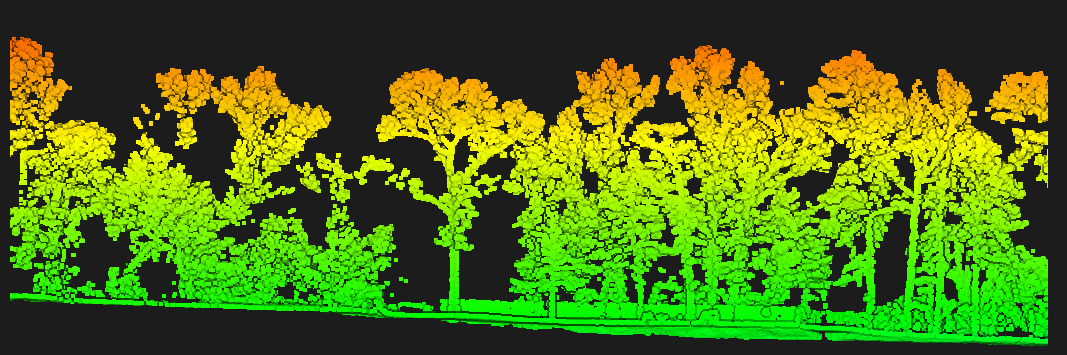
We have flown more acres with LiDAR drones than just about any other company in the South.
Thousands of acres of timber, pipeline, mine sites and hunting property — enough repetitions that we know what the sensor can and cannot do before we ever quote your job.
Deliverables
Recent Work

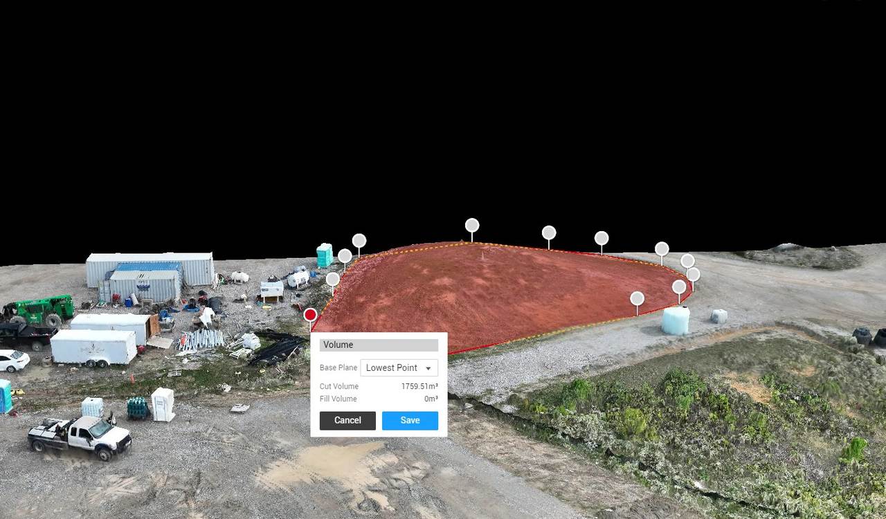
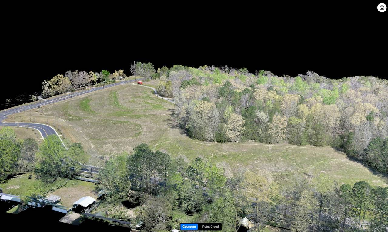
Building levees with LiDAR
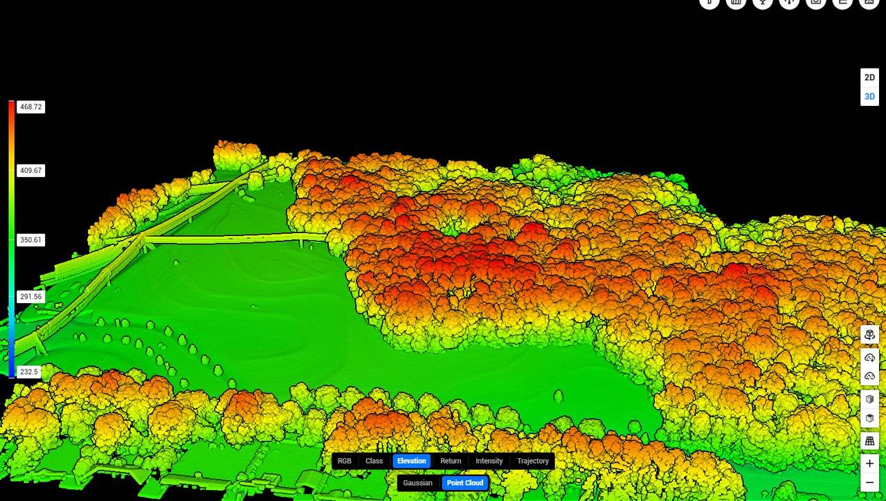
Bare-earth terrain under timber, cut and fill volumes before you move dirt, and as-built verification after. Levee design and construction is its own discipline — we keep a full page on it.
How we hold accuracy
Who this is for
Tell us the format your workflow needs — LAS, LAZ, XML, DXF, GeoTIFF, shapefile, PDF sheets — and that is what shows up. We will not hand you something you have to convert.
Talk through a projectDrone LiDAR measures the ground. A camera measures the treetops.
A drone LiDAR survey flies a laser scanner over your property and fires hundreds of thousands of pulses a second at the ground. Every pulse that comes back is a measured point — the drone's RTK position, the angle, and the time of flight give it an X, Y and Z. Hundreds of points per square meter, on the day you pick.
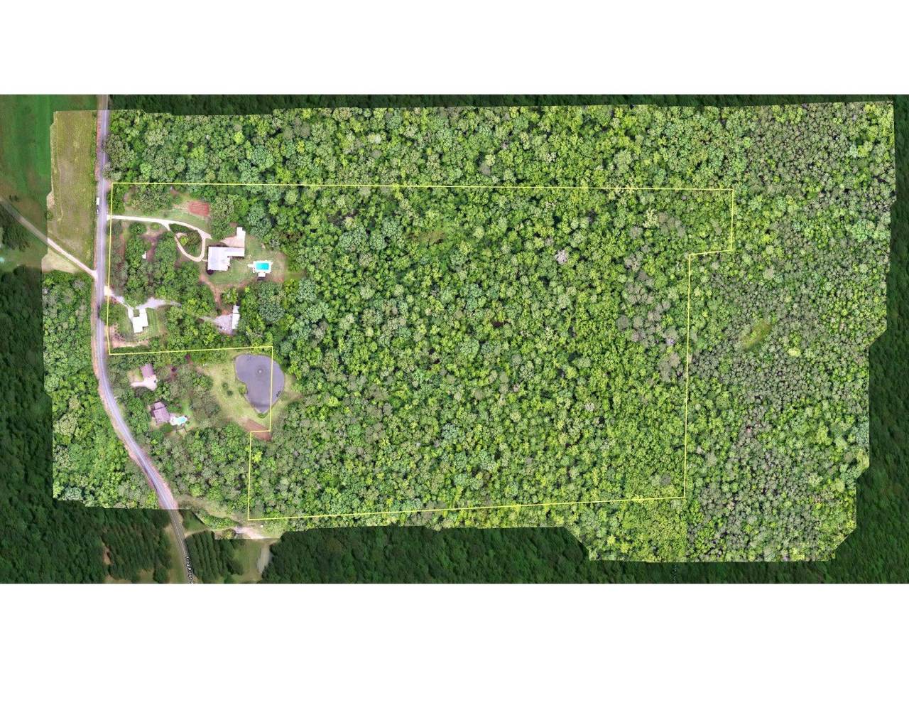
Most pulses hit leaves and limbs. Some find gaps and return off the dirt. We classify those ground returns out of the cloud and build a bare-earth terrain model from them — the surface under the timber that photogrammetry, a camera, physically cannot see. That is the difference between a map of the forest and a map of the ground.
From that surface come contours at any interval, cut and fill volumes, drainage and flood models, levee profiles and CAD-ready files — processed in-house by the same people who flew it, and delivered in whatever your engineer or surveyor works in.
Drone LiDAR survey questions, answered
Can drone LiDAR see the ground through trees?
Yes. A LiDAR sensor fires many pulses per square meter and some of them find gaps in the canopy and return off the actual ground. Those ground returns are classified out and used to build a bare-earth surface. Photogrammetry cannot do this because a camera only sees the top of the canopy. This is the reason LiDAR is the right tool for timbered ground, levee corridors and wooded drainage.
How is drone LiDAR used for building levees?
A levee is only as good as the ground surface it was designed against. LiDAR gives a bare-earth model of the existing terrain accurate enough to set levee alignment and crown elevation, calculate cut and fill volumes before dirt moves, and verify as-built elevation and volume after construction. On flooded timber and waterfowl impoundments the same model tells you exactly what acreage floods at each pool elevation, so you can size the levee to the flood you actually want.
What formats do you deliver LiDAR data in?
Whatever your engineer or surveyor works in. Classified LAS or LAZ point clouds, DWG or DXF contours and breaklines, GeoTIFF rasters, shapefiles, and PDF exhibits are all standard. We process everything in-house rather than subcontracting it, so the deliverable is built to your specification instead of a fixed template.
How accurate is drone LiDAR?
Vertical accuracy depends on flight parameters, ground control and vegetation density. The tightest results come on open ground with proper ground control, and we report checkshot numbers so your engineer can see what the surface actually holds. Under heavy canopy accuracy degrades as fewer pulses reach the ground, which is why flight planning and point density matter. We will tell you up front what accuracy your site and budget will support rather than quoting a number that does not hold.
How much does a drone LiDAR survey cost?
It is priced per project, driven by acreage, terrain and canopy, the accuracy your engineer needs (ground control and checkshots add base-station time), and the deliverables. Larger tracts price lower per acre. Send your boundary and what the data is for and we will quote it — and tell you if photogrammetry would do the job for less.
Is a drone LiDAR survey a legal land survey?
No. Paragon is not a licensed surveying firm. We collect and process the aerial data — the point cloud, bare-earth model, contours and volumes — that a licensed land surveyor or professional engineer designs from and certifies. Boundary surveys, plats and sealed documents are their work; we are clear about where our deliverable ends and theirs begins.
Where do you fly drone LiDAR?
We are based in Tuscaloosa, Alabama and travel with our own pilots, fleet and 24-foot command trailer across Alabama, Mississippi, Georgia, Tennessee, Arkansas and beyond. We have flown more than 53,000 acres of LiDAR, mapping and site work in the last 12 months alone.
Drone LiDAR surveys across the South
Every state maps differently — Delta relief, karst, planted pine, rice grade. We keep a page on how we fly each one: the terrain, what public LiDAR already exists, and where a project-density drone flight earns its keep.