
3D Gaussian splatting
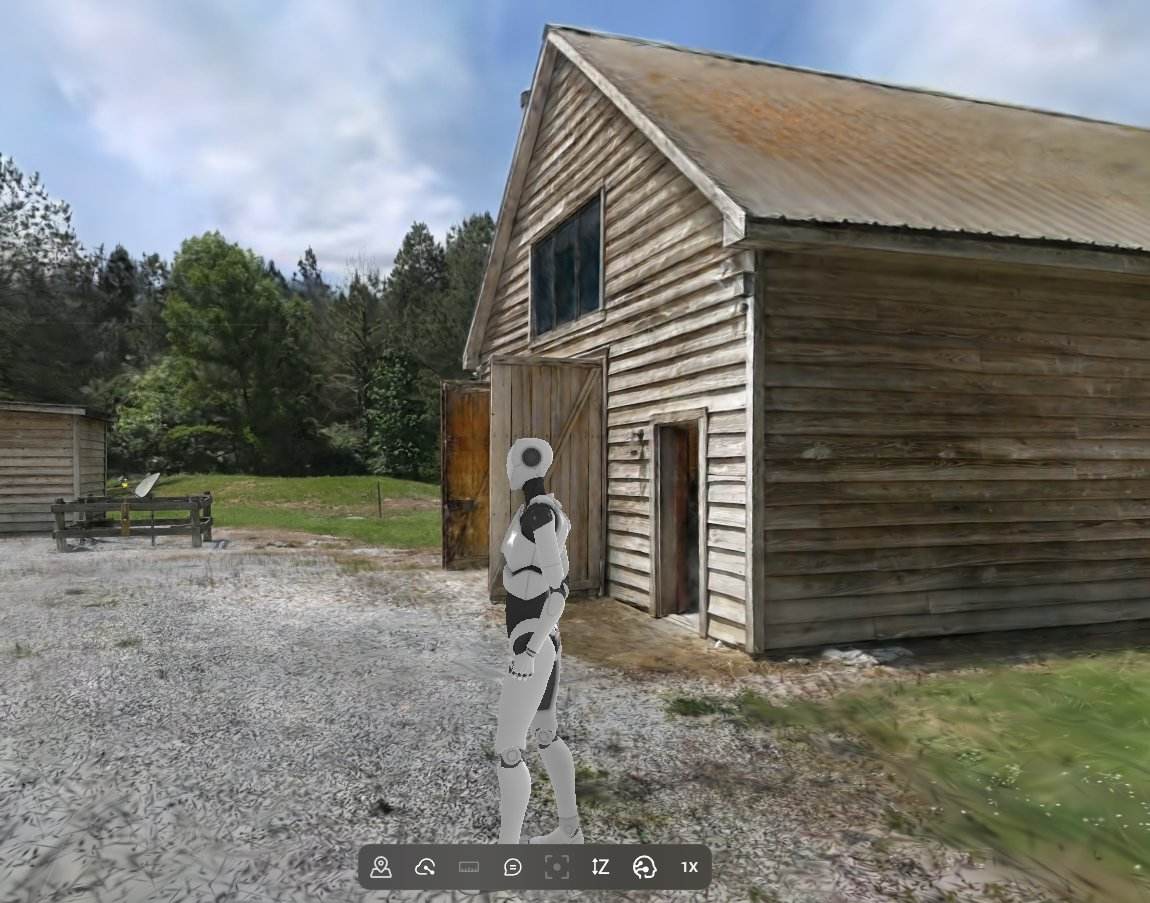
A walkthrough that looks like the real thing, because it is.
Not a stitched panorama, not jumping from one spot to another, and not a game engine model — a photographic 3D capture a buyer can walk through in a browser. Interior or exterior, house or plant.
Out-of-state buyers stop scheduling wasted trips. For those who view it, they are sold!
Open 3D walkthrough →360° panoramas
Stand in the middle of the property without leaving your desk.
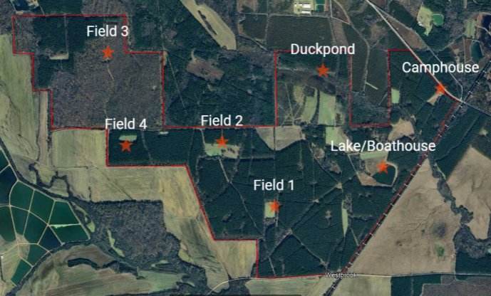
A single high-resolution sphere shot from above the tract, spun in any direction. Buyers see the timber line, the water, the road frontage and every neighbor in one continuous view — no stitching seams, no guessing what is just out of frame.
Shot from multiple altitudes and locations on the tract
Hotspot navigation between viewpoints
Boundary and feature labels dropped into the view
One hosted link that works on a phone, a laptop or an MLS listing
360 Pano Tour
Got a listing that needs to move?
Most shoots are turned around in 48 hours.